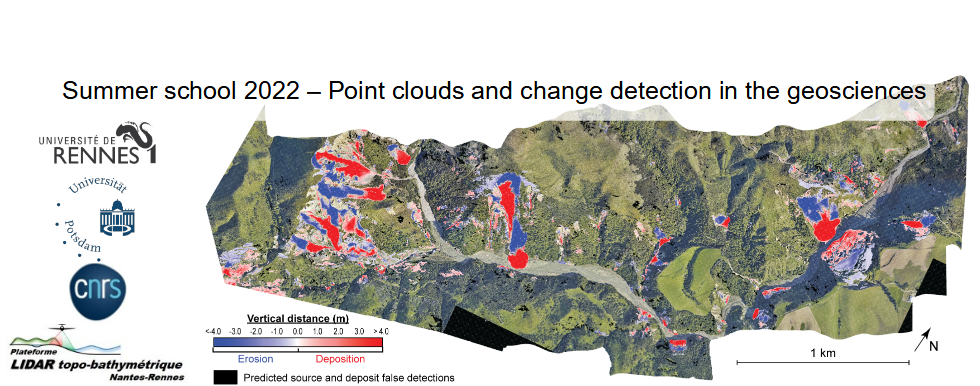
Workshop MaterialsGitHubWorkshop materials are online on GitHub: https://github.com/UP-RS-ESP/PointCloudWorkshop-May2022 CloudCompare tutorialsData setsFor the practical of the 20th June, link to the ALS and TLS data: https://filesender.renater.fr/?s=download&token=a7b405a3-4830-42a7-bf2e-13e1861e24ac For the video tutorials: The sample data set for the tutorials on CloudCompare can be downloaded here: Hope_fault_NZ, NCALM 2014b.laz The data set is a small part of the 2014 acquisition of the Marlborough faults in NZ (https://doi.org/10.5069/G9G44N75). The original, and complete dataset can be downloaded from OpenTopography. This data was later used in the Bernard, Lague and Steer, 2021 paper on landslide detection from point clouds. Provided below is a subsample version of the above dataset (minimum point spacing of 50 cm) to simplify data manipulation: Hope_fault_NZ,NCALM 2014b_sub.laz Terrestrial LiDAR data (subsampled at 5 cm) used in the CANUPO tutorial (description in Lague et al., 2013 (M3C2): Videos1.a CloudCompare for earth sciences and environmental point clouds 1.b CloudCompare: GUI, cloning, subsampling, segmentation, merging, saving, terminology 2. What's in a .las / .laz file? 5. Raster DEM creation, simple meshing, normals and advanced Poisson reconstruction 6.a Earth and environmental point clouds classification 6.b Classification tutorial with CANUPO in CloudCompare, terrestrial LiDAR Dimitri Lague Monday 20 9h30Practical with CloudCompareICP + quality control using M3C2Hands-on ICP with CloudCompare Practical with PythonROOM 13D landslide detection using CloudCompare ROOM2 |

